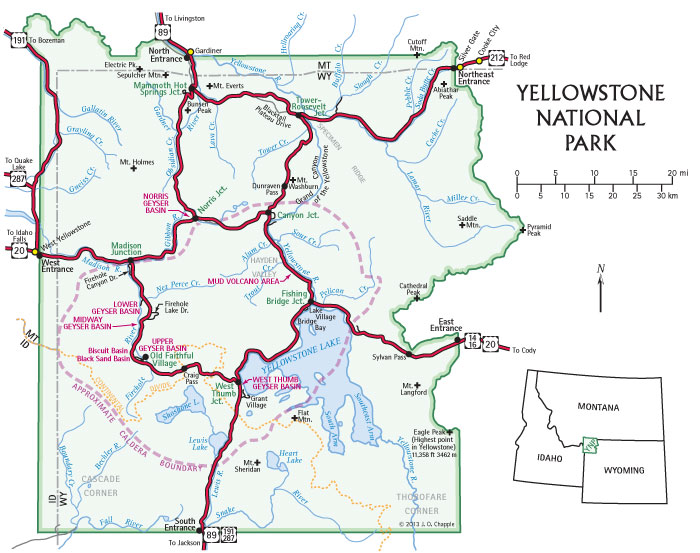
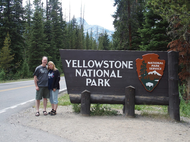
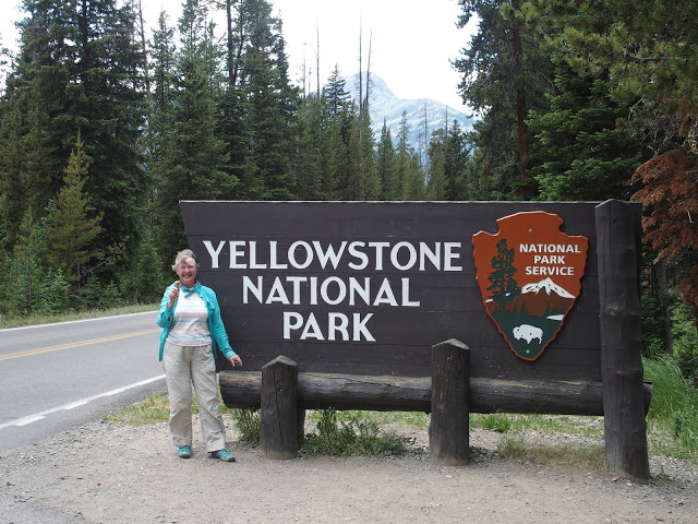
Yellowstone National Park
After some 1,600 miles so far, the rental car is holding up well.
Bear Tooth Hwy 212
once called “the most beautiful drive in America” (wiki/Beartooth_Highway)
44°56’21.5″N
109°30’35.4″W
Hwy 212 connects with Hwy 296 (Chief Joseph Scenic Highway)
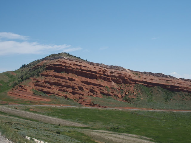
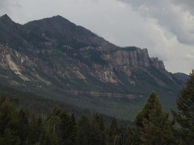
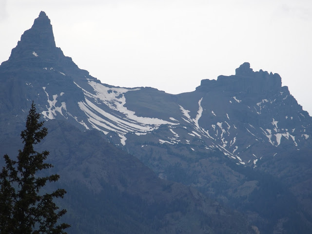
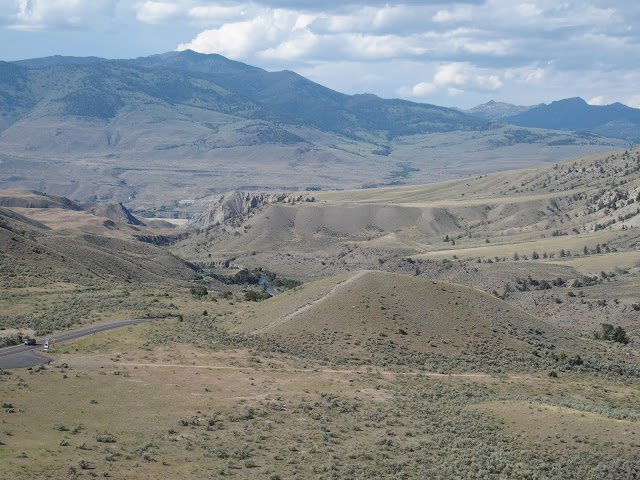
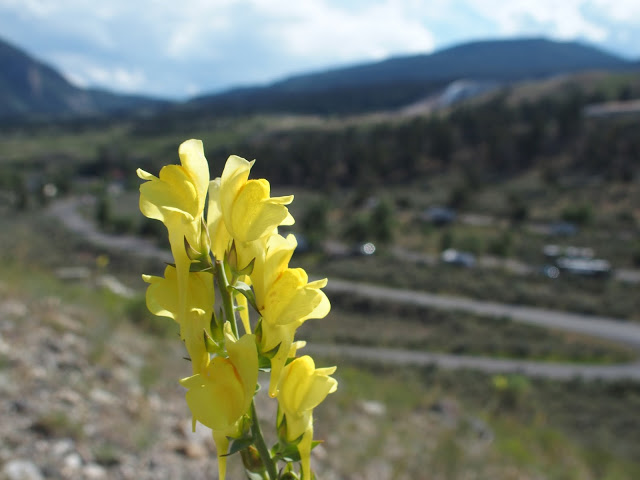
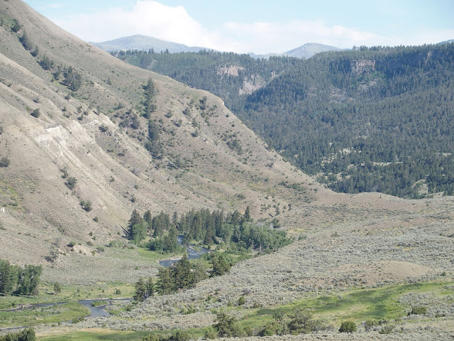
Scenic overlook at Dead Indian Summit Overlook
Hin-mah-too-yah-lat-kekt (Thunder Rolling Down the Mountain) and commonly known as Chief Joseph, led the Nez Perce Indian tribe on a 1,170-mile journey through this route coming from (now) Yellowstone National Park and heading into Montana, in 1877 during their attempt to flee the U.S. Cavalry and escape into Canada.
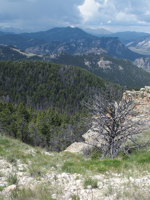
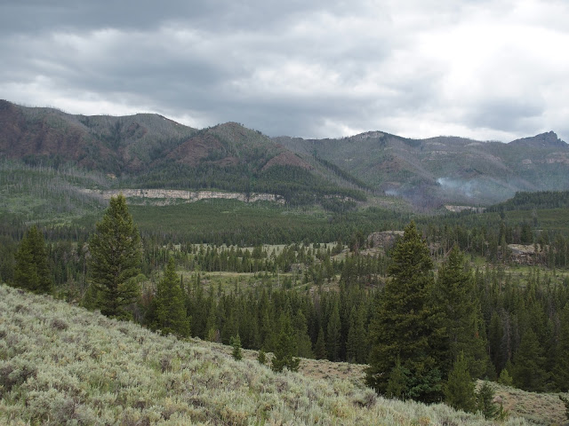
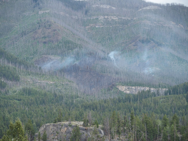
A smoldering fire, ignited a few days before by a lightening strike. The fire is being monitored but allowed to let burn.
Cooke City-Silver Gate, Montana
45°01’14.0″N
109°55’53.8″W
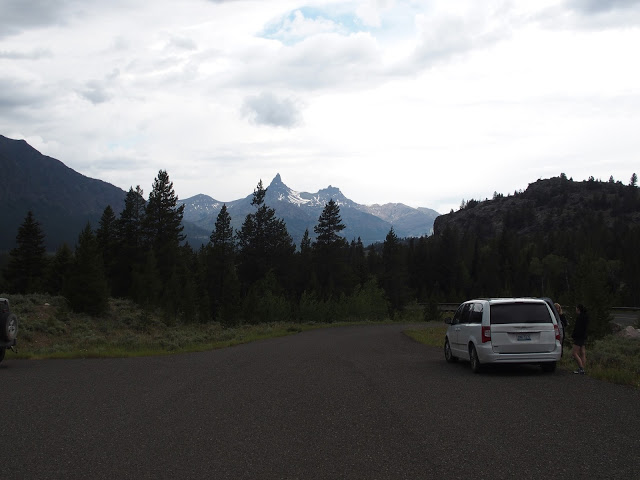
“Stop the Car”
And we did!
Time for an Ice Cream
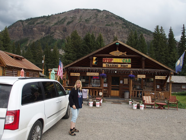
still with Ice Cream
Luckily we got the last camp site at Mammoth Springs!
elevation: 6,200 ft (1,889 m)
We will use this as our base for the next 3 nights.